

How to Read a Topographic Map

Quick Summary
Understanding Topographic Maps
⚠️ Warnings
Steps
Understanding Topographic Maps
Topographic maps are detailed representations of the Earth's surface, showing elevation changes and landforms. They use contour lines to indicate the height of terrain, allowing you to visualise hills, valleys, and slopes. By learning how to read a topographic map, you can enhance your outdoor adventures and ensure safer navigation.
What you'll need
topographic map, compass
Familiarise Yourself with Map Symbols

Before diving into the details, take a moment to understand the symbols used on topographic maps. These symbols represent various features like roads, trails, water bodies, and vegetation. Most maps include a legend that explains these symbols, making it easier for you to interpret the map accurately.
Identify Contour Lines
Contour lines are the backbone of topographic maps, indicating elevation changes. Each line represents a specific elevation, and the spacing between lines shows the steepness of the terrain. Closely spaced lines indicate steep slopes, while widely spaced lines suggest gentle slopes. Learning to identify these patterns is crucial for understanding the landscape.
Read Elevation Information
Topographic maps often provide specific elevation data at certain points, usually marked with numbers. These numbers indicate the height above sea level. Use this information to gauge how high you will be climbing or descending on your journey. Remember, knowing the elevation can help you prepare for changes in weather and difficulty.
Use the Scale
Every topographic map has a scale that helps you measure distances. The scale can be in miles or kilometres, and it allows you to estimate how far you need to travel. To use the scale, measure the distance between two points on the map using a ruler, then convert that measurement using the scale provided.
Determine North
Knowing which direction is north is vital for navigation. Most topographic maps have a north arrow, which indicates the direction of true north. You can also use a compass to find north. Align the compass with the map, and you can orient yourself to the landscape around you.
Plan Your Route
Once you understand the map, you can plan your route. Identify your starting point, destination, and any waypoints along the way. Consider the terrain, elevation changes, and the difficulty of the route. This planning will help you prepare for the journey ahead and ensure a safer experience.
Practice Navigation Skills
To become proficient at reading a topographic map, practice is essential. Start by navigating familiar areas using a topographic map and compass. This will help you build confidence and improve your skills. As you gain experience, you can tackle more challenging terrains and routes.
Stay Aware of Your Surroundings
While a topographic map is a valuable tool, always pay attention to your surroundings. Use landmarks, natural features, and your compass to confirm your position. This awareness will help you avoid getting lost and enhance your overall outdoor experience.
Hypothermia is a serious condition that can occur when your body loses heat faster than it can produce it, especially in cold environments. This guide will provide you with essential tips and steps to
How to Avoid HypothermiaLearn build a shelter in the wild with clear steps, practical tips, and troubleshooting advice tailored for UK readers.
How to build a shelter in the wildOfficial UK guidance and safety information.
GOV.UK official guidanceConclusion
Learning how to read a topographic map is a valuable skill for anyone who enjoys outdoor activities. By understanding the symbols, contour lines, and elevation data, you can navigate confidently and safely. Remember to practice your skills regularly and stay aware of your environment to make the most of your adventures.
Related guides and resources
Explore related how-to guides on our site, including more in this topic and our most popular tutorials.
Access to clean water is essential when spending time outdoors. This guide will teach you various methods to purify water outdoors, ensuring you stay hydrated and healthy during your adventures.
How to Purify Water OutdoorsNavigating using a compass is an essential skill for outdoor enthusiasts. This guide will provide you with step-by-step instructions on how to effectively use a compass to find your way in the wilderness, ensuring you can explore safely and confidently.
How to Navigate Using a CompassPacking a hiking backpack efficiently is crucial for a successful outdoor adventure. This guide provides practical steps to ensure you pack a hiking backpack correctly, making your hike enjoyable and safe. Learn essential tips and tricks to optimise space and weight distribution.
How to Pack a Hiking BackpackOne of our most-read how-to guides.
How can someone organize a makeup collection?🔧 Troubleshooting
I can't find my way using the map.
Double-check your compass orientation and ensure you are reading the map correctly. Look for identifiable landmarks to help confirm your location.
The map seems outdated.
Check for newer versions of the map or consult local resources to verify current trails and terrain features.
I'm struggling to understand contour lines.
Practice with different maps and focus on identifying patterns in contour spacing. Online tutorials can also provide helpful visual explanations.
Difficulty interpreting contour lines
Contour lines represent elevation changes. If they are close together, the terrain is steep; if they are far apart, the terrain is gentle. Practice by identifying a few hills or valleys on the map and visualizing their shapes.
Symbols on the map are unclear
Refer to the map's legend, which explains what each symbol represents. If the legend is missing or unclear, compare the symbols with a known topographic map or use online resources to familiarize yourself with common symbols.
❓ FAQs
What is a topographic map?
A topographic map is a detailed representation of terrain that shows elevation changes using contour lines. It helps users understand the landscape and navigate effectively.
How do I read contour lines?
Contour lines indicate elevation changes; closely spaced lines show steep slopes, while widely spaced lines indicate gentle slopes. Each line represents a specific elevation.
What tools do I need to read a topographic map?
You will need a topographic map and a compass. These tools will help you navigate and understand the terrain effectively.
Can I use a topographic map for hiking?
Yes, topographic maps are excellent for hiking as they provide detailed information about elevation and terrain, helping you plan your route and stay safe.
Where can I find topographic maps?
Topographic maps can be found online, at outdoor retailers, or through local government offices. Many websites also offer downloadable versions.
Know a better way?
Suggest clearer steps, fix mistakes, or add detail you use in practice. Your edit is reviewed before it goes live.
Was this guide helpful?
Guide by How To Library
You might also like
Similar guides based on topic, category, and tags.
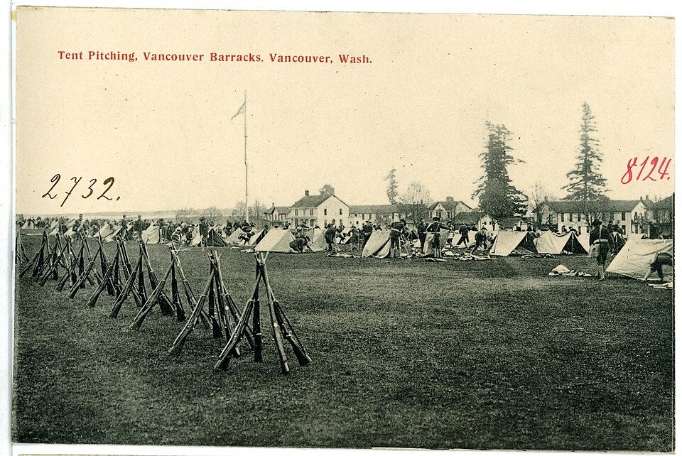
How to Pitch a Tent: A Step-by-Step Guide
Choosing the Right Location
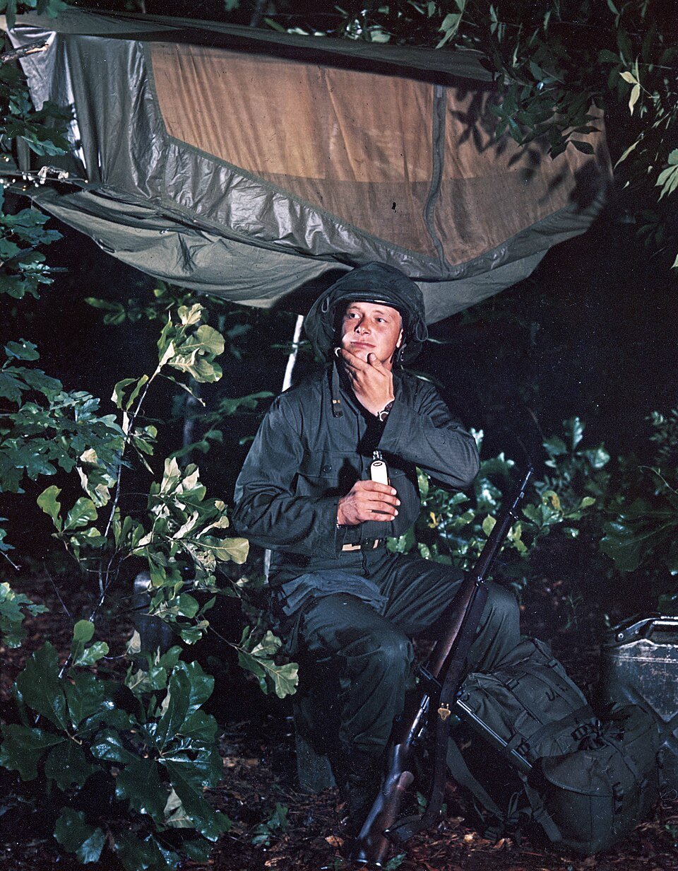
How to Avoid Insect Bites
Understanding Insect Bites

How to build a shelter in the wild
This guide provides detailed steps and tips for constructing a safe and effective shelter in wilderness settings.
How to Tie Essential Survival Knots
Introduction to Survival Knots

How to Identify Edible Plants
Understanding Edible Plants
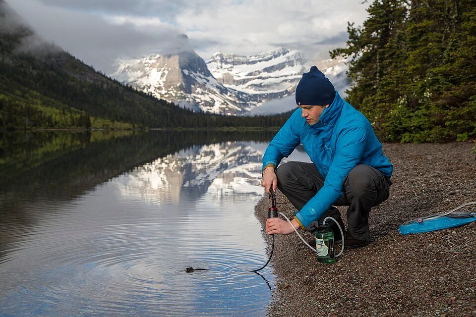
How to Purify Water Outdoors
Understanding the Importance of Water Purification
Comments
Log in to comment.